
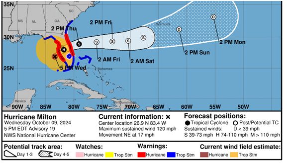
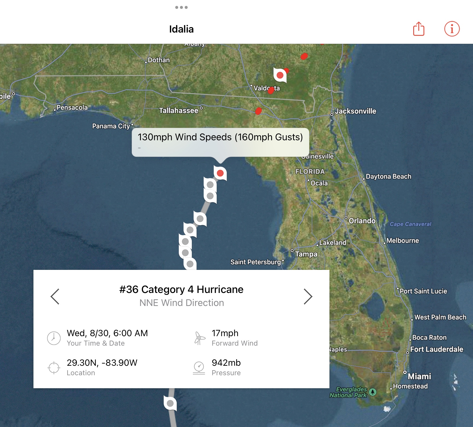
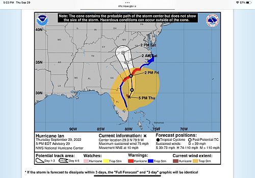
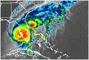
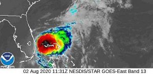
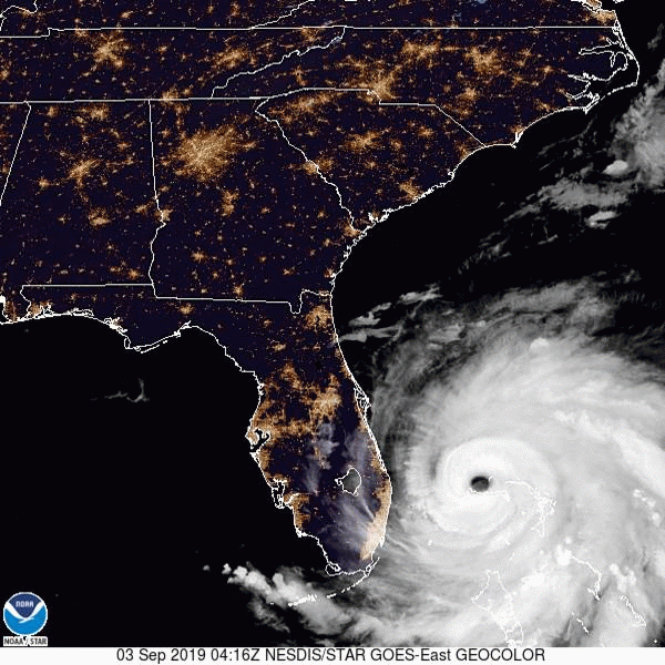
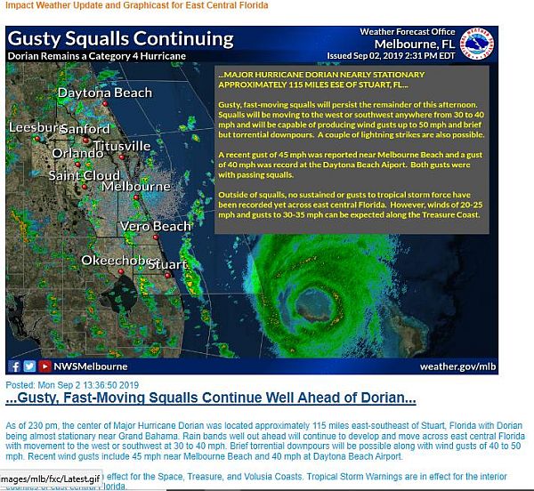
After monitoring the storm for a week, Hurricane Milton finally made landfall in Siesta Key near Sarasota along Florida’s west central coast on Oct. 9, 2024, approximately 8:30 pm EST. The Category 3 storm struck FL with winds of 120 mph before weakening to a Category 2 as it came ashore.
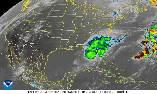
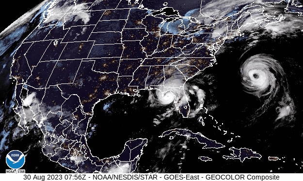
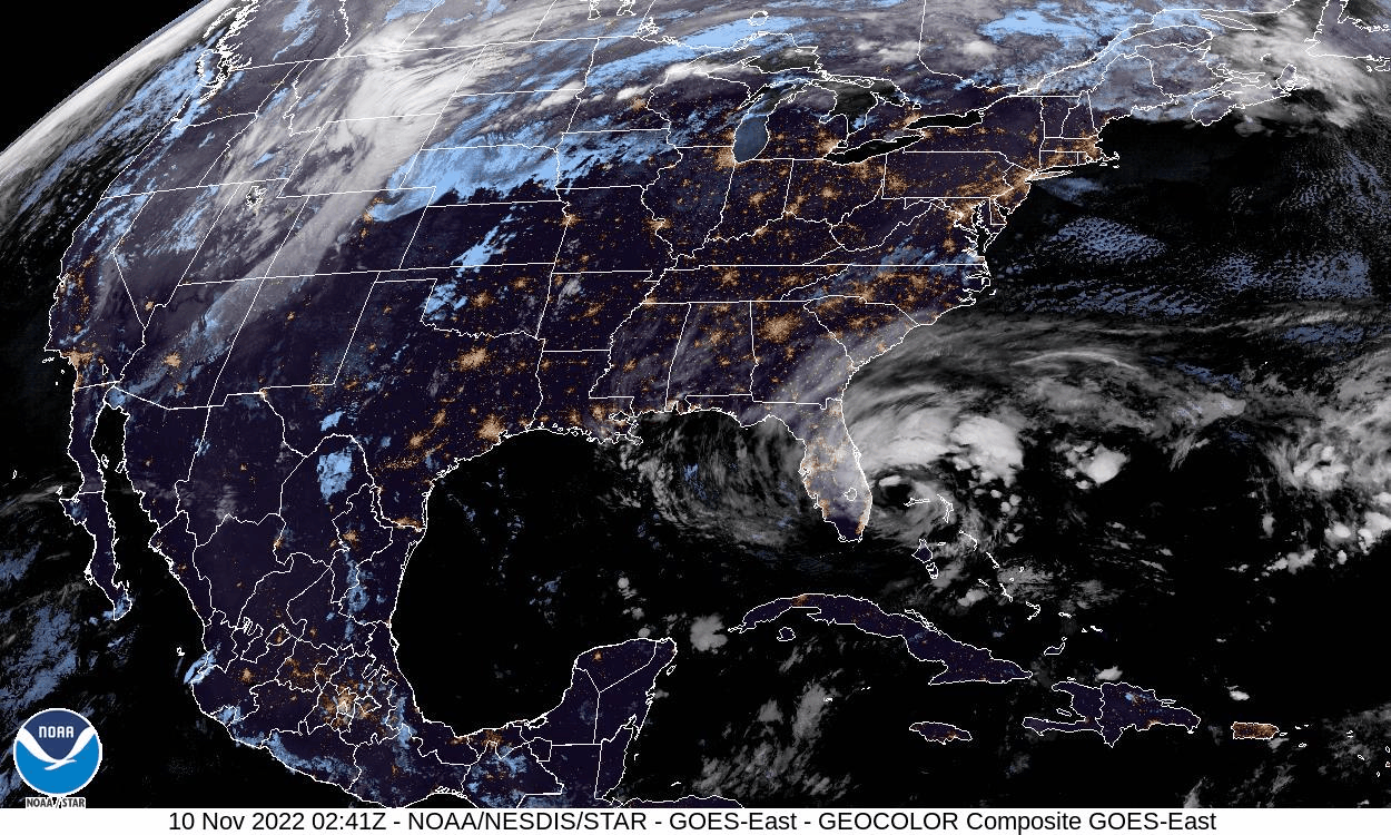
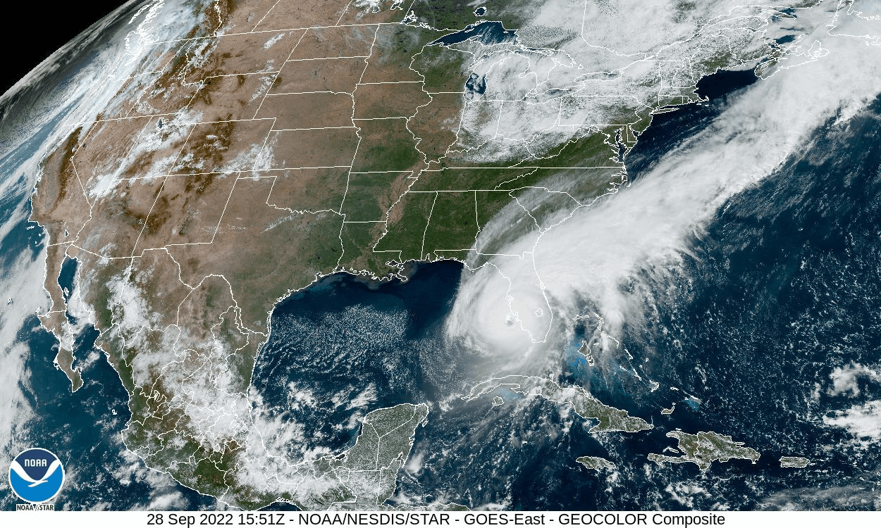
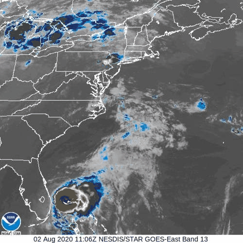
Click the satellite image below to see animation, 24 images – 5-minute update.
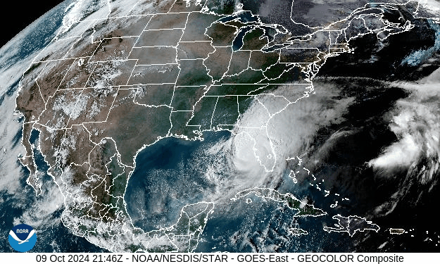
GOES-East CONUS – GeoColor – NOAA / NESDIS / STAR
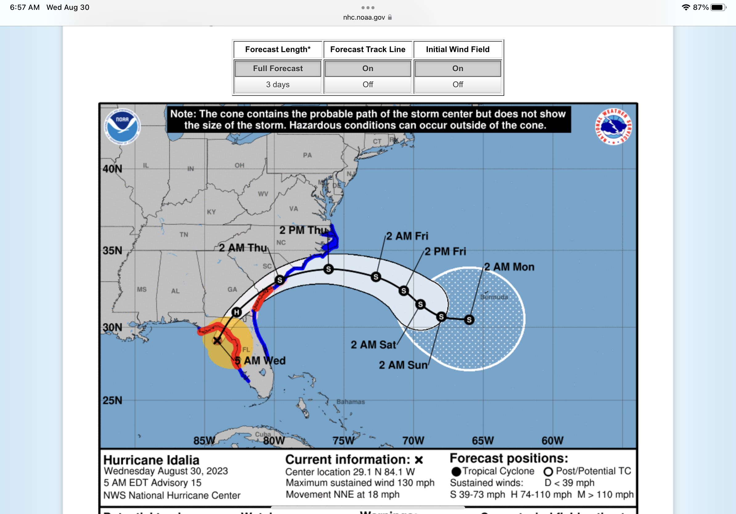
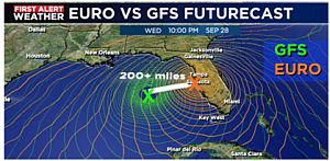
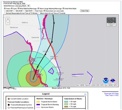
We have been monitoring Hurricane Melton and preparing the worst scenario to protect our property since 10/2/2024. There were many so called spaghetti models presented by the news media. Major model, GFS model, Global Forecast System, was shifting time to time for Hurricane Milton forecast. Another computerized model, Euro Model, European Center for Medium-Range Weather Forecast was consistent on forecast and observation. It took days for the two models to finally agree that the where on the west coast the storm would make landfall.
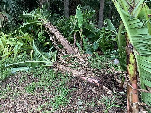
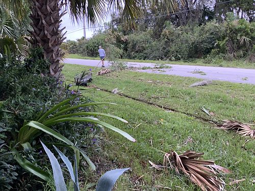
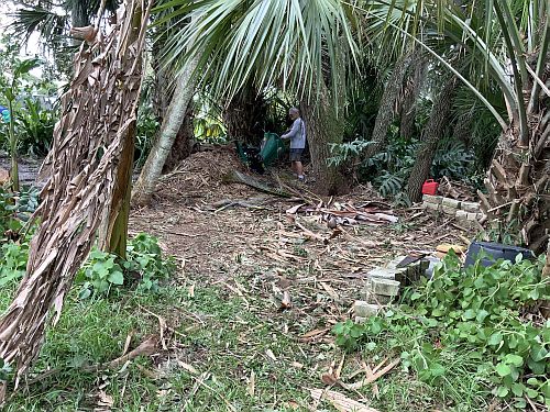
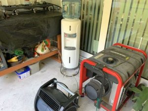
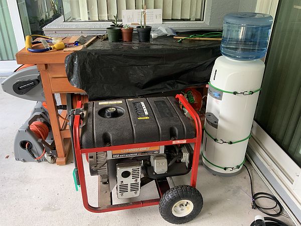
We were lucky this time. There were no major issues such as power outage, falling trees at our property.

https://www.wunderground.com/hurricane/atlantic/2024/hurricane-milton
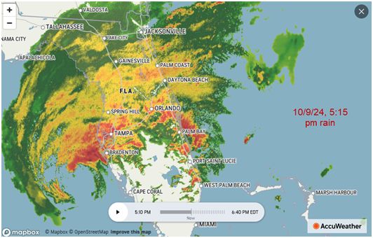
The National Weather Service (NWS) in Miami issued a tornado watch and several tornado warnings for parts of Florida as Hurricane Milton rapidly approaches west-central Florida. We had heavy rain and wind at 2:00 pm due to tornado touchdown in tradition and other location.
The tornado watch remained valid until Wednesday evening at 9pm ET and covered parts of south Florida including Miami, Key Largo, Tampa, Port St Lucie, Jupiter Farms, Sebring, Sebastian, Sarasota, North Port, Cape Coral and Bonita Springs and more,
The major impact for the Treasure Coast and counties South was the tornado that came as the feeder bands reached the East coast of Florida as the storm traveled up the West coast. The Tornadoes that did touchdown (which there were numerous) created a lot of damage and even flipped at least four 18 wheelers on RT 95 and the turnpike. It has also been reported that a number of people did die as a result of a Tornado.
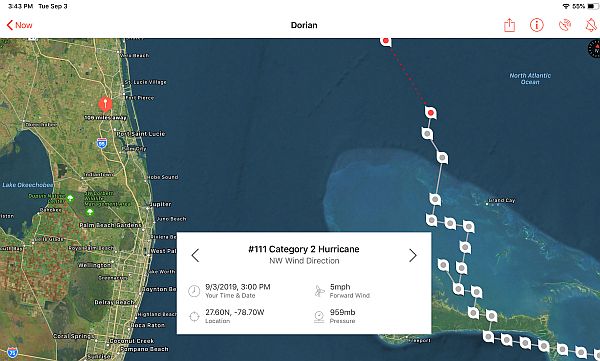
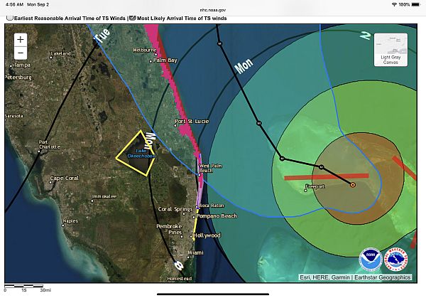
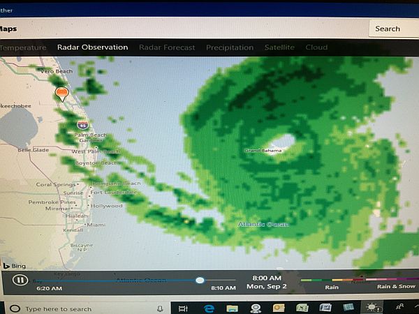
Important storm tracking links:
https://www.nhc.noaa.gov/ National Hurricane Center
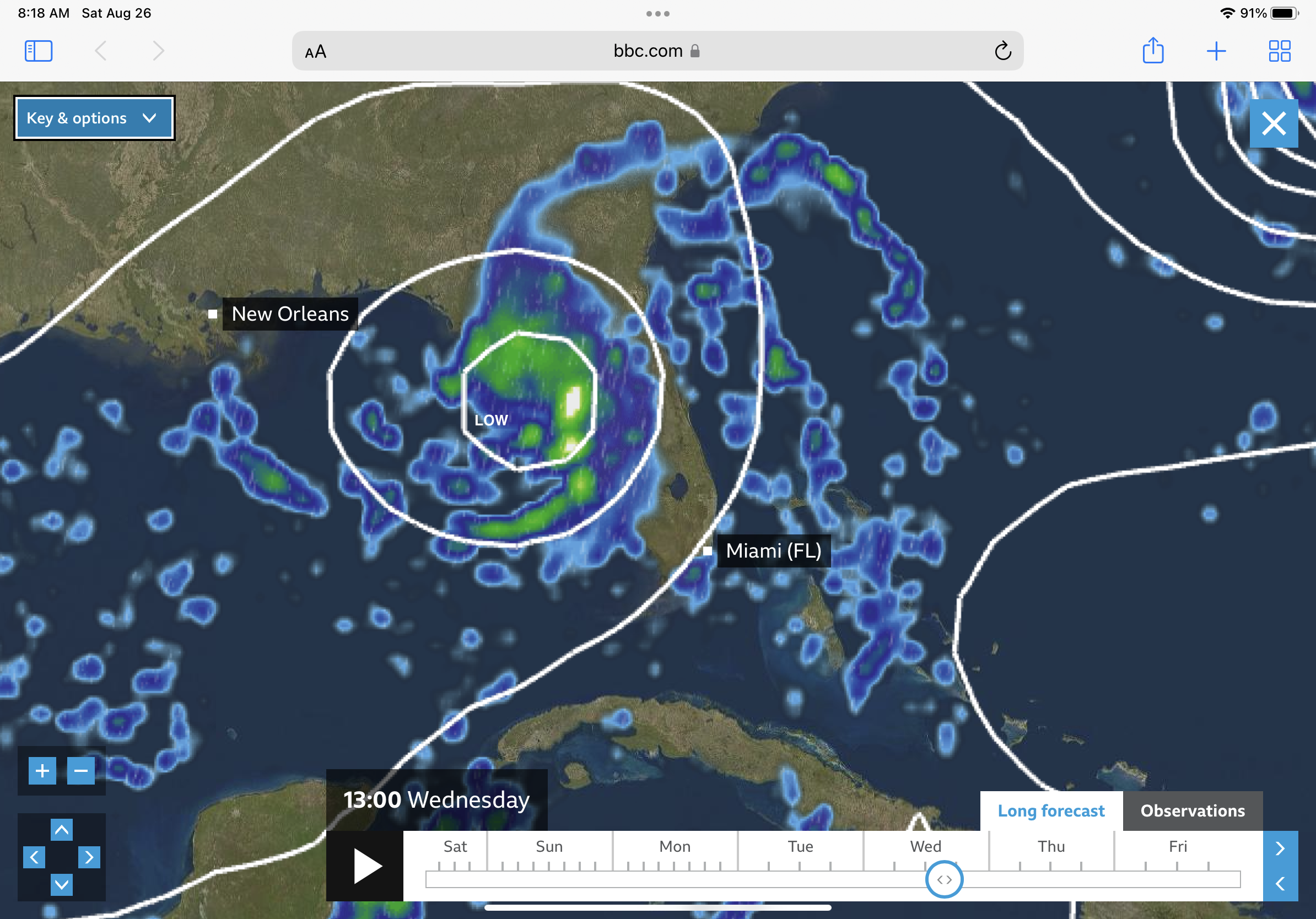
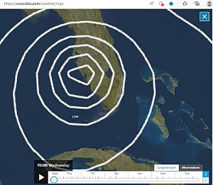
https://www.bbc.com/weather/map EURO model, European Center for Medium-Range Weather Forecast
